
FieldGrid
A field-ready mapping system for recording paths, polygons, lines, observations, and operational reports across iOS, Android, and web.
FieldGrid Platform Admin · Map · Mobile Sync
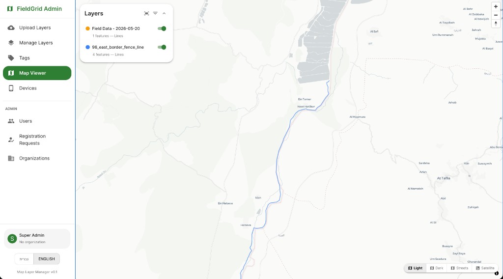
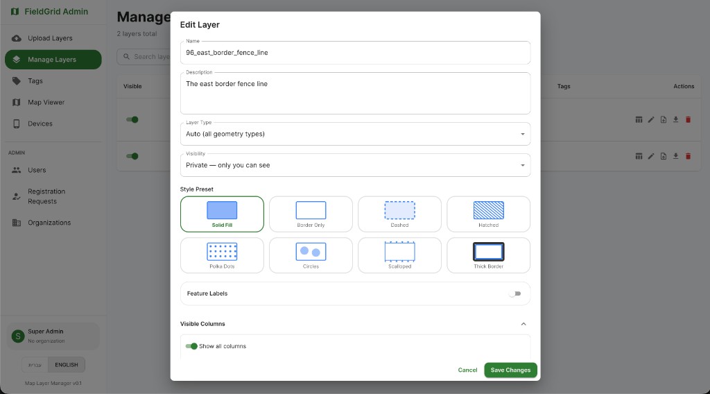
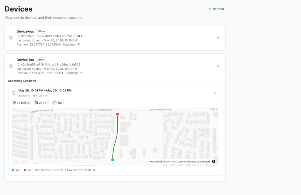
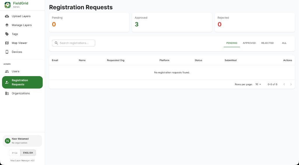
FieldGrid Capabilities
- Path recording and structured field data capture
- Polygon, line, and point creation for operational mapping
- Real-time situational awareness
- Location-based analysis and visualization
Designed for teams that need reliable map-based reporting, clear spatial records, and practical field workflows in complex environments.
Product Name
FieldGrid is built for map-first field operations.
The name reflects the core workflow: field teams capturing structured geospatial records that can be reviewed, shared, and acted on.
Product Access
For iOS, Android, and web users.
Review the FieldGrid terms and privacy policy before using the mobile apps or web platform.
Engagement
Clarity in complexity. Precision in execution.
Request a brief to explore how OsinTerra can support your objectives.